- Home
- About us
- Products
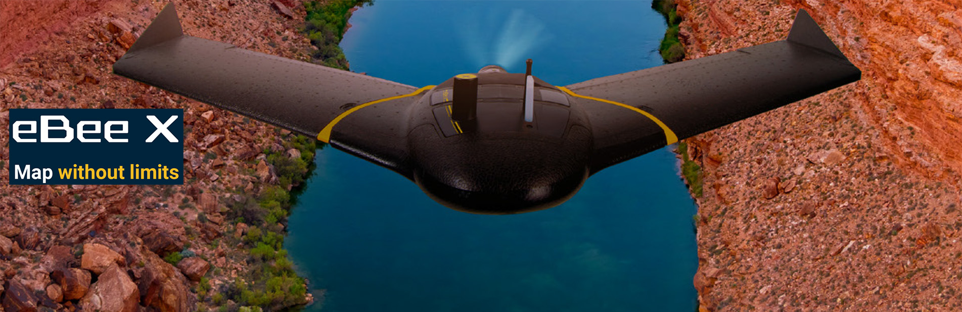
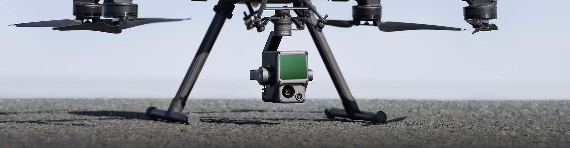
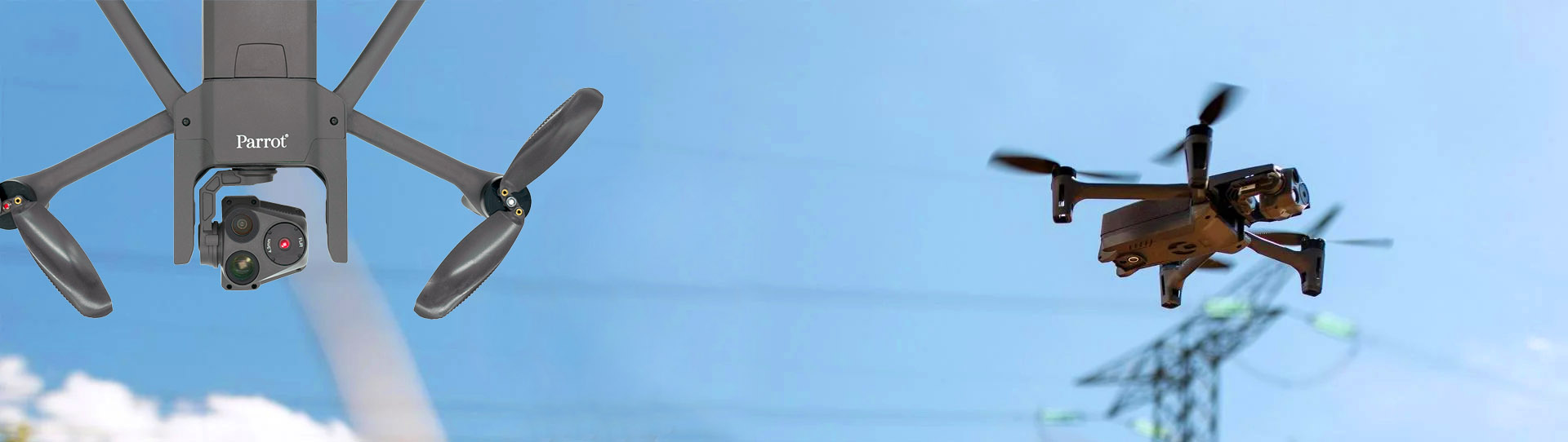
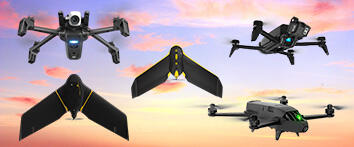
- DRONES
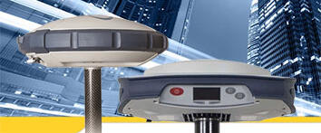
- GNSS RECEIVERS
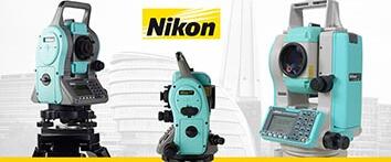
- OPTICAL SURVEYING
- SPECTRAL CAMERAS
- THERMAL IMAGING CAMERAS
- ENGINEERING SOFTWARE
- GROUND PENETRATING RADAR
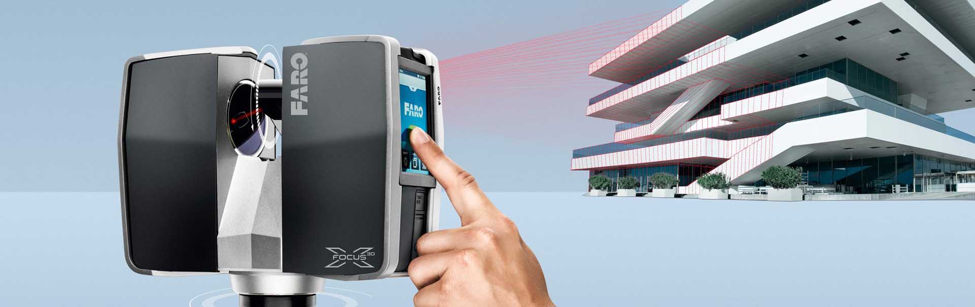
- 3D LASER SCANNERS
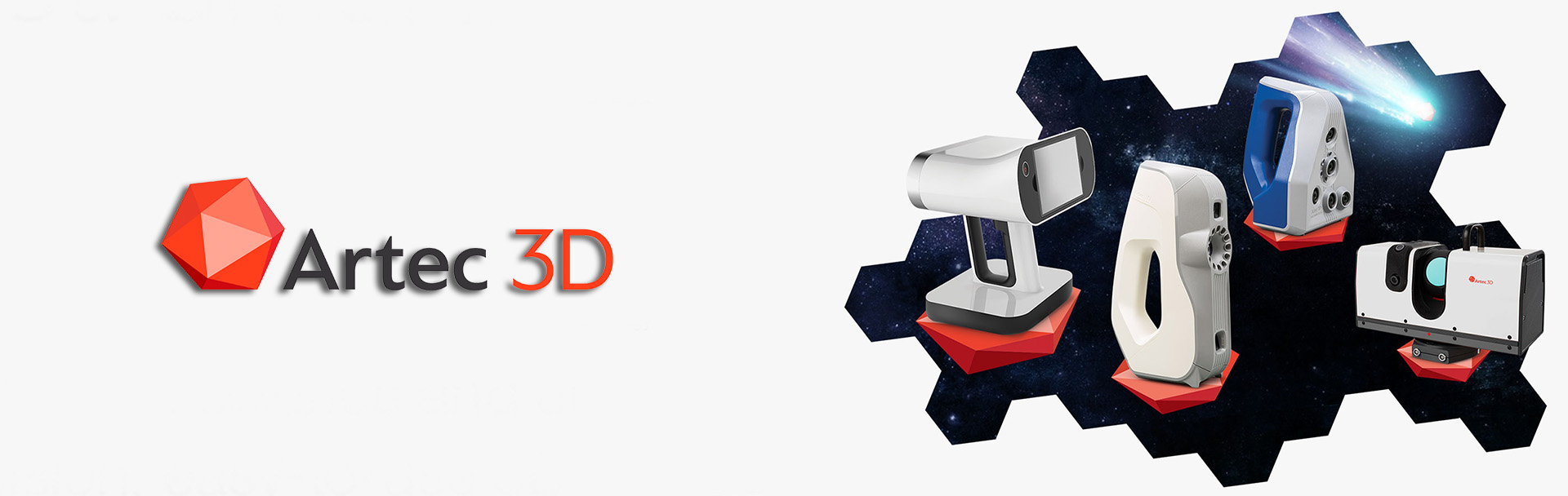
- 3D OPTICAL SCANNERS
- 3D PRINTERS
- INERTIAL SYSTEMS
- SONAR SYSTEMS
- CONSTRUCTION LASER
- LASER DISTANCEMETERS
- GNSS REFERENCE NETWORK
- USED EQUIPMENT
- PORTABLE POWER STATIONS
- PANORAMIC CAMERAS
- Customers
- Services
- e-Shop
- Contact us
- News - Events
- projects


Products


 NEWS & EVENTS
ZwCAD
Learn about how the functions of ZWCAD satisfy your daily design needs and increase your design efficiency...
SP 60
The Spectra Precision SP60 is a new generation GNSS receiver offering a high level of flexibility to cover any survey demand!
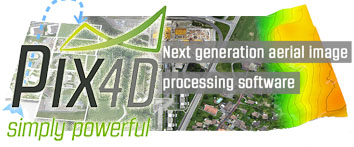
Pix4D
Pix4D image processing s/w is your complete mapping & modeling solution to convert thousands of images into geo-referenced 3D models...
-
29.01.2016
-
20.11.2015
-
16.10.2015


Copyright © 2021, GeoSense