 GeoSense based in Greece, founded in 2002 as a trading company of Unmanned Systems UAV/UAS (Drones), Robotic Systems, GPS/GNSS receivers, Topographic and Measuring Equipment, Laser Scanners, Thermographic Cameras and in general GIS applications and solutions. At the same time, GeoSense provides support to all kind of studies and projects related to geoinformatics and drone technology, which have been its main activitiy from the very beginning.
 In 2011, GeoSense introduced the first UAS system for professional use in Greece, being a pioneer in Greece in the technology of professional drones, while it represents and operates a significant number of unmanned flying systems for highly professional use for the last 8 years.
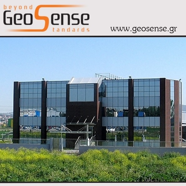
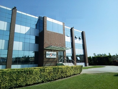
In 2019, GeoSense moved to new larger and modern facilities at Terma Proektasis Maiandrou Str., Oraiokastro Thessaloniki - Greece.
GeoSense today is considered and well-known as the most experienced company in trade, design and development of professional drones in Greece, while it operates as an officially licensed by C.A.A. (Civil Aviation Authority) Training Center for UAS (multirotor & fixed wing), one of the first in Greece, with the distinctive title of GeoSense UAS Academy, an official photogrammetry training center licensed by the Swiss Pix4D and one of the few service centers of the Swiss senseFly worldwide.

GeoSense is actively involved in several research funded projects through Research and Technology department which is constantly developing within the company. The company is certified according to the international standards of quality management ISO 9001:2015, environmental management ISO 14001:2015 and information security management ISO 27001:2013.
As a trading company, GeoSense distributes and supports well-known brands like:
SenseFly drones, Parrot drones, SkyWatch Drones, DJI Drones, Nikon & Spectra Precision survey equipment, Spectra Precision GNSS Receivers, Javad GNSS Receivers, Faro 3D Laser Scanners, Artech 3D Optical Scanners, Flir Thermal Image Cameras, GSSI Ground Radars, Pix4D photogrammetry software, ESRI software, ZwCAD software, Specialized road design software, Land surveying software etc.
As a service provider, GeoSense offers services like:
Aerial surveying and 3D mapping, Aerial Photography and Videography, Aerial Inspection, Archaeology surveying, Precision Farming, Environ-mental monitoring, Forestry mapping, Volume Aerial measurement, Landslide and Erosion monitoring and mapping, Construction Inspection, Aerial Thermal mapping, Precision Agriculture using Aerial mapping or Satellite imaging, GIS analysis and applications, Indoor and Outdoor surveying, Continuously Operating Reference Stations (CORS) that provide Global Navigation Satellite System (GNSS) data providing measurements in support of three dimensional positioning receivers, etc.
As a consulting company, GeoSense provides consultancy in fields like:
UAV/UAS systems integrators, Mapping and mobile Mapping, Precision Farming, GIS and Surveying, Fleet management and LBS services, Spatial data capture, management and analysis, Search and Rescue surveys, Environmental monitoring, 3D scanning, Thermography etc.
Our Vision:
To become a key player in the blooming market of civilian drones providing turn-key solutions according to the end-user needs. To provide specialized hi-tech products, training, services and consulting in modern Geo-Informatics, expanding our business outside the borders of Greece.