Keep full control of your projects with these integrated editing tools:
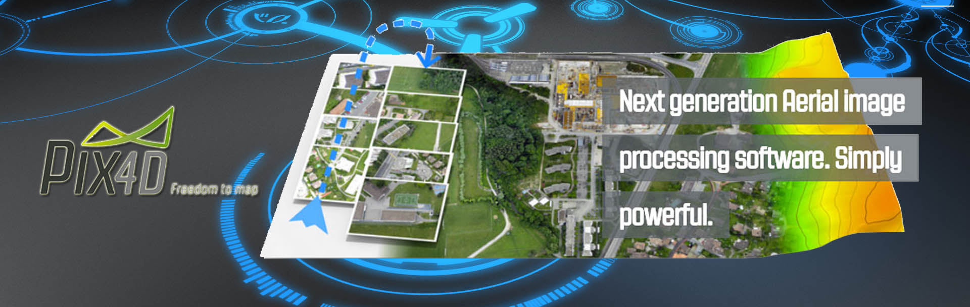
The rayCloud editor combines the 3D point cloud with the original images and is a ground-breaking concept that offers you a completely new viewing and annotating experience. Use the rayCloud editor to view, assess, interpret and improve the quality and accuracy of your results. Measure, vectorize, classify and perform GIS and CAD functionalities directly in the rayCloud editor.
The Mosaic editor is your answer to beautiful maps in only a few clicks. Improve the quality of the automatically generated orthomosaic with the easiest seamline editing tool available in the market.
The Index calculator enables you to create and customize index maps, using your multi-spectral imagery with radiometric accuracy. Application maps can then be produced by integrating the results, such as NDVI, into all major AG management software packages.
 UAV + Software
Looking for a full solution? Include both a UAV and our software to fully cover your mapping and modeling needs. Choose one of our partners, who integrate Pix4Dmapper with their fixed-wing UAVs or copters.
 Pix4D App
Pix4Dmapper Capture, our App, turns drones such as DJI Phantom 2 Vision into an autonomous mapping and measuring tool to create 2D maps and 3D models. It is available for both Android and iOS.
Read more on our Capture App or download now free of charge on Google Play and App Store.
Download the free version Pix4Dmapper


 Pix4Dmapper